Norsebury House
Introduction
The photograph on this page of Norsebury House by Graham Horn as part of the Geograph project.
The Geograph project started in 2005 with the aim of publishing, organising and preserving representative images for every square kilometre of Great Britain, Ireland and the Isle of Man.

There are currently over 7.5m images from over 14,400 individuals and you can help contribute to the project by visiting https://www.geograph.org.uk
Norsebury House
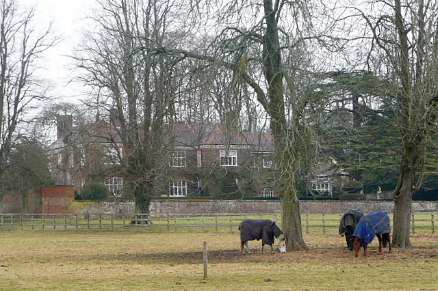
Image: © Graham Horn Taken: 14 Feb 2010
Built in the 1950s in the style of a much older manor house, this property was on the market in 2009 for nearly £10 million. This web page http://www.perkinsogden.com/pdf/5063-1.pdf shows the reason for part of that cost.
Images are licensed for reuse under creativecommons.org/licenses/by-sa/2.0
Image Location
Latitude
51.153468
Longitude
-1.299345