Road to Easton
Introduction
The photograph on this page of Road to Easton by Ivan Hall as part of the Geograph project.
The Geograph project started in 2005 with the aim of publishing, organising and preserving representative images for every square kilometre of Great Britain, Ireland and the Isle of Man.

There are currently over 7.5m images from over 14,400 individuals and you can help contribute to the project by visiting https://www.geograph.org.uk
Road to Easton
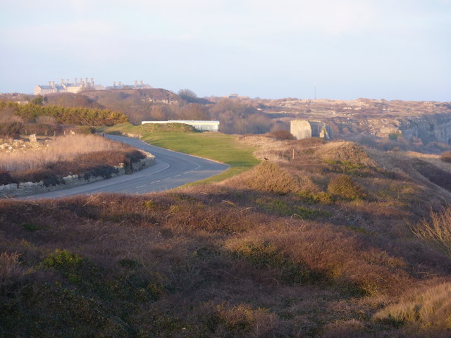
Image: © Ivan Hall Taken: 6 Feb 2010
A foreshortened view taken from beside the Cheyne Weare car park, looking towards the Young Offenders' Institution, which lies on the far side of Easton. Rufus Castle is visible to the right.
Images are licensed for reuse under creativecommons.org/licenses/by-sa/2.0
Image Location
Latitude
50.535085
Longitude
-2.433696