Overflow car park
Introduction
The photograph on this page of Overflow car park by Peter Holmes as part of the Geograph project.
The Geograph project started in 2005 with the aim of publishing, organising and preserving representative images for every square kilometre of Great Britain, Ireland and the Isle of Man.

There are currently over 7.5m images from over 14,400 individuals and you can help contribute to the project by visiting https://www.geograph.org.uk
Overflow car park
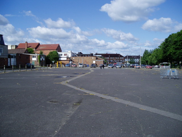
Image: © Peter Holmes Taken: 18 Jul 2009
Route of public footpath 58BH crossing open space between Crescent Way and Middle Way.
Images are licensed for reuse under creativecommons.org/licenses/by-sa/2.0
Image Location
Latitude
50.9568
Longitude
-0.130063