The Lagan near Stranmillis, Belfast
Introduction
The photograph on this page of The Lagan near Stranmillis, Belfast by Albert Bridge as part of the Geograph project.
The Geograph project started in 2005 with the aim of publishing, organising and preserving representative images for every square kilometre of Great Britain, Ireland and the Isle of Man.

There are currently over 7.5m images from over 14,400 individuals and you can help contribute to the project by visiting https://www.geograph.org.uk
The Lagan near Stranmillis, Belfast
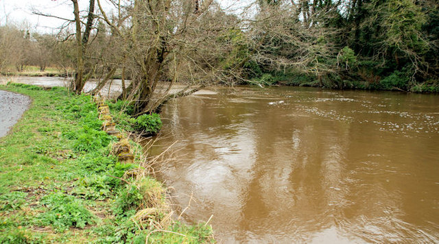
Image: © Albert Bridge Taken: 31 Mar 2010
The muddy Lagan, upstream of the Stranmillis weir, after heavy/torrential rain and strong to gale force north easterly winds throughout yesterday and well into the night.
Images are licensed for reuse under creativecommons.org/licenses/by-sa/2.0
Image Location
Latitude
54.564916
Longitude
-5.926613