Whitsbury Cross, fingerpost
Introduction
The photograph on this page of Whitsbury Cross, fingerpost by Mike Faherty as part of the Geograph project.
The Geograph project started in 2005 with the aim of publishing, organising and preserving representative images for every square kilometre of Great Britain, Ireland and the Isle of Man.

There are currently over 7.5m images from over 14,400 individuals and you can help contribute to the project by visiting https://www.geograph.org.uk
Whitsbury Cross, fingerpost
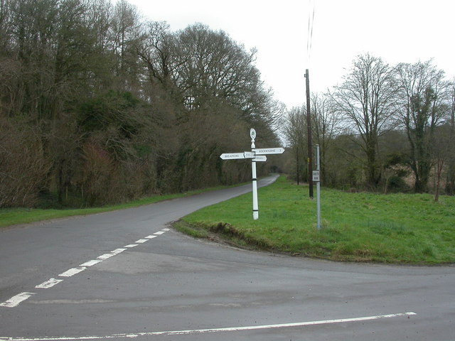
Image: © Mike Faherty Taken: 31 Mar 2010
New Forest District fingerpost dated 2008, but based on a traditional Hampshire pattern; directions given to Whitsbury (from camera), Breamore, Fordingbridge & Rockbourne.
Images are licensed for reuse under creativecommons.org/licenses/by-sa/2.0
Image Location


Leaflet Map data © OpenStreetMap
Latitude
50.95885
Longitude
-1.81471