Debris on the Lagan, Belfast
Introduction
The photograph on this page of Debris on the Lagan, Belfast by Albert Bridge as part of the Geograph project.
The Geograph project started in 2005 with the aim of publishing, organising and preserving representative images for every square kilometre of Great Britain, Ireland and the Isle of Man.

There are currently over 7.5m images from over 14,400 individuals and you can help contribute to the project by visiting https://www.geograph.org.uk
Debris on the Lagan, Belfast
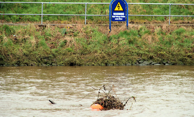
Image: © Albert Bridge Taken: 31 Mar 2010
See Image Belfast escaped the worst of yesterday’s weather of heavy snow (especially here Image and Image where there were drifts up to five feet deep). Instead there was heavy/torrential rain and strong to gale force north easterly winds throughout the day and well into the night. Some debris had accumulated on the Lagan, upstream of the governor’s Bridge and had been marked by a high-visibility float (rowers use this stretch). Continue to Image
Images are licensed for reuse under creativecommons.org/licenses/by-sa/2.0
Image Location
Latitude
54.574498
Longitude
-5.929993