Public Footpath 23BH
Introduction
The photograph on this page of Public Footpath 23BH by Peter Holmes as part of the Geograph project.
The Geograph project started in 2005 with the aim of publishing, organising and preserving representative images for every square kilometre of Great Britain, Ireland and the Isle of Man.

There are currently over 7.5m images from over 14,400 individuals and you can help contribute to the project by visiting https://www.geograph.org.uk
Public Footpath 23BH
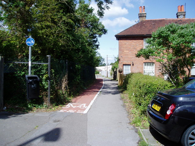
Image: © Peter Holmes Taken: 18 Jul 2009
With cycleway leading to Victoria Gardens and Albert Drive.
Images are licensed for reuse under creativecommons.org/licenses/by-sa/2.0
Image Location
Latitude
50.953269
Longitude
-0.139887