Cottages in Burlescombe
Introduction
The photograph on this page of Cottages in Burlescombe by Derek Harper as part of the Geograph project.
The Geograph project started in 2005 with the aim of publishing, organising and preserving representative images for every square kilometre of Great Britain, Ireland and the Isle of Man.

There are currently over 7.5m images from over 14,400 individuals and you can help contribute to the project by visiting https://www.geograph.org.uk
Cottages in Burlescombe
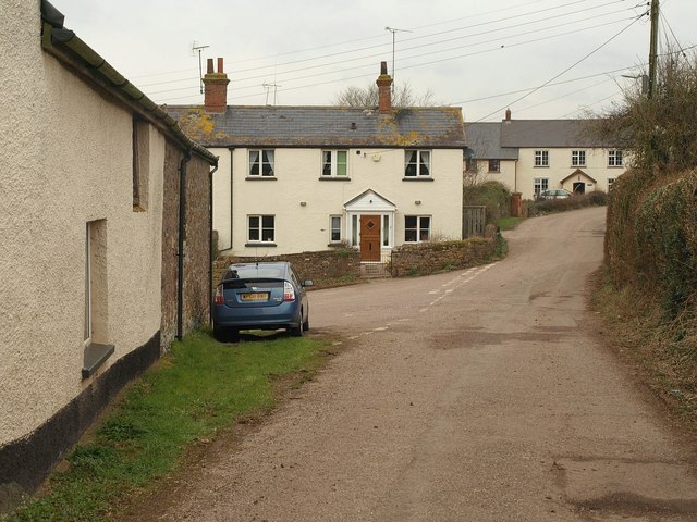
Image: © Derek Harper Taken: 3 Mar 2010
The village is built on a hillside above the valley of the River Lyner. This lane, arriving from the south, meets the C102, the equivalent of the main road, just past the furthest cottage. On the immediate left is a wall of The Barton, one of several farms along the lane.
Images are licensed for reuse under creativecommons.org/licenses/by-sa/2.0
Image Location
Latitude
50.941662
Longitude
-3.318226