End of Nations Hill
Introduction
The photograph on this page of End of Nations Hill by Graham Horn as part of the Geograph project.
The Geograph project started in 2005 with the aim of publishing, organising and preserving representative images for every square kilometre of Great Britain, Ireland and the Isle of Man.

There are currently over 7.5m images from over 14,400 individuals and you can help contribute to the project by visiting https://www.geograph.org.uk
End of Nations Hill
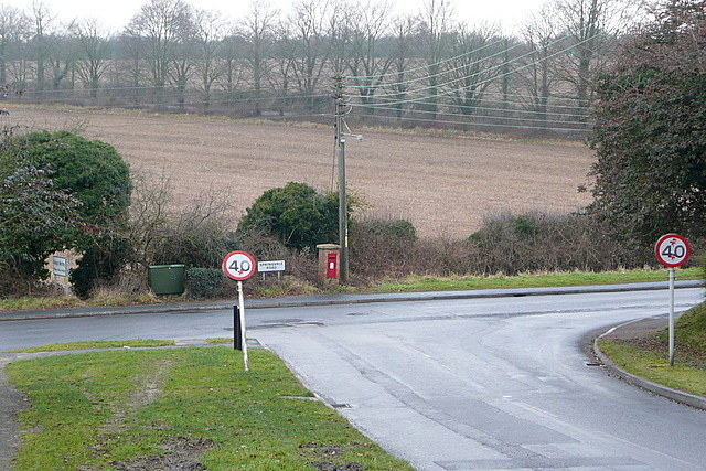
Image: © Graham Horn Taken: 14 Feb 2010
The suburban road, Nations Hill, ends here at its junction with Springvale Road, which marks, for now, the limit of the urban area.
Images are licensed for reuse under creativecommons.org/licenses/by-sa/2.0
Image Location
Latitude
51.094862
Longitude
-1.303229