Former Tower Pit
Introduction
The photograph on this page of Former Tower Pit by Alan Murray-Rust as part of the Geograph project.
The Geograph project started in 2005 with the aim of publishing, organising and preserving representative images for every square kilometre of Great Britain, Ireland and the Isle of Man.

There are currently over 7.5m images from over 14,400 individuals and you can help contribute to the project by visiting https://www.geograph.org.uk
Former Tower Pit
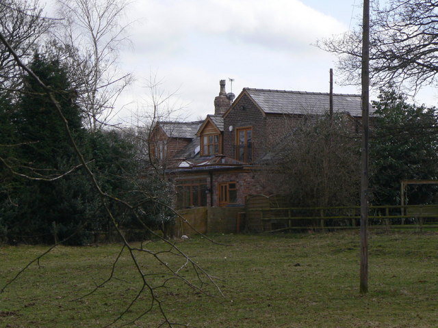
Image: © Alan Murray-Rust Taken: 25 Mar 2010
The outline of the taller part of the building is the clue to the fact that this was the winding engine house of Tower Pit. Opened in 1846, it was a failure due to dangerous geological conditions and had been closed by 1848!
Images are licensed for reuse under creativecommons.org/licenses/by-sa/2.0
Image Location
Latitude
53.354185
Longitude
-2.10753