Rough Grazing Near Ballygrant
Introduction
The photograph on this page of Rough Grazing Near Ballygrant by Mary and Angus Hogg as part of the Geograph project.
The Geograph project started in 2005 with the aim of publishing, organising and preserving representative images for every square kilometre of Great Britain, Ireland and the Isle of Man.

There are currently over 7.5m images from over 14,400 individuals and you can help contribute to the project by visiting https://www.geograph.org.uk
Rough Grazing Near Ballygrant
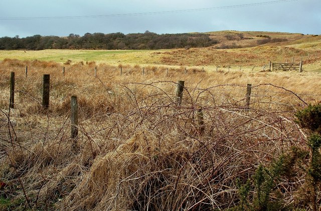
Image: © Mary and Angus Hogg Taken: 27 Mar 2010
Looking across Ballygrant Burn to the rough grazing land on the other side. Only a tiny part of the burn lies inside the square. Viewed in late March.
Images are licensed for reuse under creativecommons.org/licenses/by-sa/2.0
Image Location
Latitude
55.817001
Longitude
-6.168952