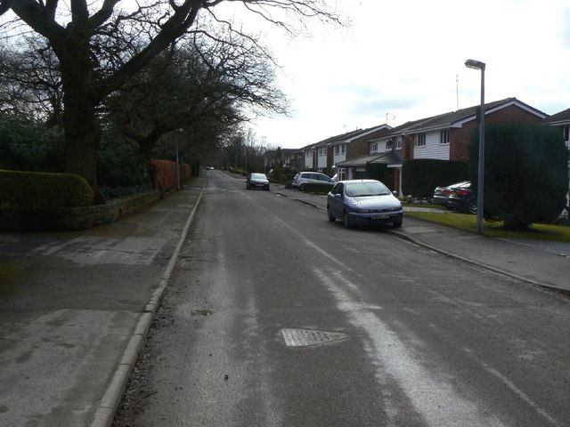
Towers Road (1)
Introduction
The photograph on this page of Towers Road (1) by Alan Murray-Rust as part of the Geograph project.
The Geograph project started in 2005 with the aim of publishing, organising and preserving representative images for every square kilometre of Great Britain, Ireland and the Isle of Man.
There are currently over 7.5m images from over 14,400 individuals and you can help contribute to the project by visiting https://www.geograph.org.uk

Image: © Alan Murray-Rust Taken: 25 Mar 2010
Looking south from Prince's Incline. The status of the road is not clear on larger scale OS as it carries footpath right of way markings. It is however the main access to a substantial housing development to the right of the picture, and local authority mapping shows that it is in fact an adopted highway up to this point. The road started life as a colliery tramroad taking coal from local collieries to a coal yard on the main turnpike road to Stockport. It would certainly have been constructed privately which doubtless explains the uncertainty.

