Endfield House, Marthall
Introduction
The photograph on this page of Endfield House, Marthall by michael ely as part of the Geograph project.
The Geograph project started in 2005 with the aim of publishing, organising and preserving representative images for every square kilometre of Great Britain, Ireland and the Isle of Man.

There are currently over 7.5m images from over 14,400 individuals and you can help contribute to the project by visiting https://www.geograph.org.uk
Endfield House, Marthall
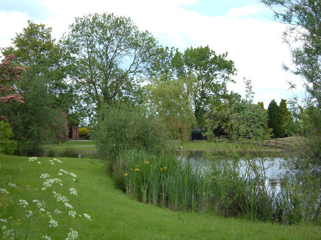
Image: © michael ely Taken: 30 May 2006
View of part of the attractive private garden belonging to Endfield House. Looking north from a gap in the hawthorn hedge at the corner of Pinfold Lane and Kell Green Lane.
Images are licensed for reuse under creativecommons.org/licenses/by-sa/2.0
Image Location
Latitude
53.287782
Longitude
-2.302967