Greenhills (lane) (2)
Introduction
The photograph on this page of Greenhills (lane) (2) by David Anstiss as part of the Geograph project.
The Geograph project started in 2005 with the aim of publishing, organising and preserving representative images for every square kilometre of Great Britain, Ireland and the Isle of Man.

There are currently over 7.5m images from over 14,400 individuals and you can help contribute to the project by visiting https://www.geograph.org.uk
Greenhills (lane) (2)
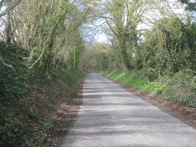
Image: © David Anstiss Taken: 26 Mar 2010
This lane leads from Valley Road toward Covert Wood and Plamstead. In the background is Barham Primary School. This lane is also a link route for the Elham Valley Way (long distance walk).
Images are licensed for reuse under creativecommons.org/licenses/by-sa/2.0
Image Location
Latitude
51.207282
Longitude
1.154337