Dufton
Introduction
The photograph on this page of Dufton by Carl Bendelow as part of the Geograph project.
The Geograph project started in 2005 with the aim of publishing, organising and preserving representative images for every square kilometre of Great Britain, Ireland and the Isle of Man.

There are currently over 7.5m images from over 14,400 individuals and you can help contribute to the project by visiting https://www.geograph.org.uk
Dufton
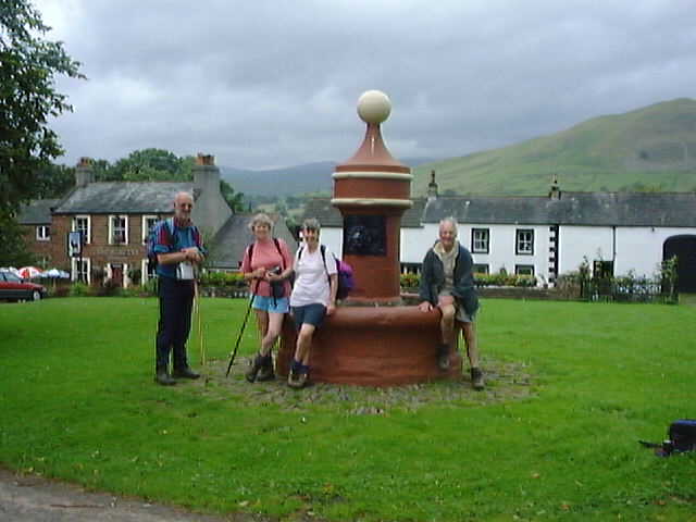
Image: © Carl Bendelow Taken: 4 Aug 1998
Walkers resting on the village pump on Dufton Green. Dufton is a centre for visitors having a car park, toilets, shop/tearoom, youth hostel, accommodation and public house. Just as well as the village lies on the Pennine Way, Cumbrian Cycleway and the Pennine Bridleway
Images are licensed for reuse under creativecommons.org/licenses/by-sa/2.0
Image Location


Leaflet Map data © OpenStreetMap
Latitude
54.623651
Longitude
-2.489378