Wey Navigation looking northeast from Cart Bridge
Introduction
The photograph on this page of Wey Navigation looking northeast from Cart Bridge by P L Chadwick as part of the Geograph project.
The Geograph project started in 2005 with the aim of publishing, organising and preserving representative images for every square kilometre of Great Britain, Ireland and the Isle of Man.

There are currently over 7.5m images from over 14,400 individuals and you can help contribute to the project by visiting https://www.geograph.org.uk
Wey Navigation looking northeast from Cart Bridge
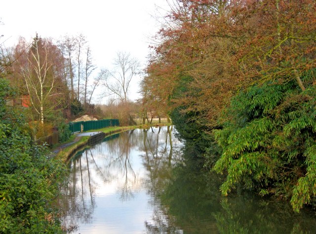
Image: © P L Chadwick Taken: 12 Mar 2010
The navigation is owned and managed by the National Trust. The view in the other direction:- Image
Images are licensed for reuse under creativecommons.org/licenses/by-sa/2.0
Image Location
Latitude
51.295304
Longitude
-0.541765