Beddington: Hilliers Lane
Introduction
The photograph on this page of Beddington: Hilliers Lane by Dr Neil Clifton as part of the Geograph project.
The Geograph project started in 2005 with the aim of publishing, organising and preserving representative images for every square kilometre of Great Britain, Ireland and the Isle of Man.

There are currently over 7.5m images from over 14,400 individuals and you can help contribute to the project by visiting https://www.geograph.org.uk
Beddington: Hilliers Lane
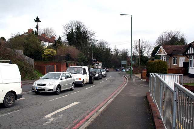
Image: © Dr Neil Clifton Taken: 29 Mar 2010
Looking north from the barrier which closes off Hallowell Avenue. Hilliers Lane is part of the B272, and is very busy all day. It gives access to Beddington Lane and thence to a large number of industrial premises, to the Asda superstore, and is also used as a 'cut through' to Mitcham by motorists. Pedestrians trying to cross Hilliers Lane take their lives in their hands, unless they cross by the traffic lights.
Images are licensed for reuse under creativecommons.org/licenses/by-sa/2.0
Image Location


Leaflet Map data © OpenStreetMap
Latitude
51.370162
Longitude
-0.132811