Burleigh Road, Penn Fields, Wolverhampton
Introduction
The photograph on this page of Burleigh Road, Penn Fields, Wolverhampton by Roger D Kidd as part of the Geograph project.
The Geograph project started in 2005 with the aim of publishing, organising and preserving representative images for every square kilometre of Great Britain, Ireland and the Isle of Man.

There are currently over 7.5m images from over 14,400 individuals and you can help contribute to the project by visiting https://www.geograph.org.uk
Burleigh Road, Penn Fields, Wolverhampton
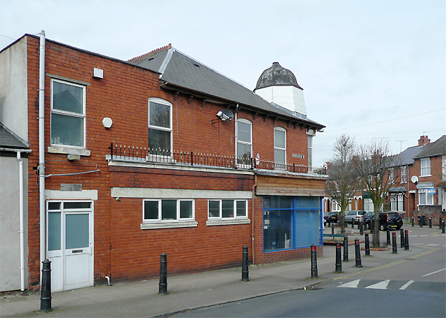
Image: © Roger D Kidd Taken: 17 Mar 2010
This shows the extended corner shop at the junction with Owen Road. The short bell shaped tower is an architectural oddity among these late Victorian and early 20th century terraced shops and houses.
Images are licensed for reuse under creativecommons.org/licenses/by-sa/2.0
Image Location
Latitude
52.576743
Longitude
-2.142076