Brinkburn Street, Byker Estate
Introduction
The photograph on this page of Brinkburn Street, Byker Estate by Andrew Curtis as part of the Geograph project.
The Geograph project started in 2005 with the aim of publishing, organising and preserving representative images for every square kilometre of Great Britain, Ireland and the Isle of Man.

There are currently over 7.5m images from over 14,400 individuals and you can help contribute to the project by visiting https://www.geograph.org.uk
Brinkburn Street, Byker Estate
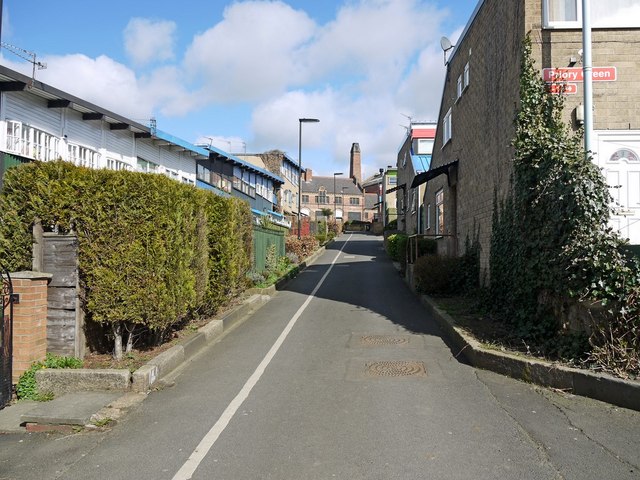
Image: © Andrew Curtis Taken: 28 Mar 2010
The old building at the top of the lane is Shipley Street Baths. It is integrated into the Byker Wall and was used initially to provide heating for the estate.
Images are licensed for reuse under creativecommons.org/licenses/by-sa/2.0
Image Location
Latitude
54.974928
Longitude
-1.580192