Smokey Cross
Introduction
The photograph on this page of Smokey Cross by Guy Wareham as part of the Geograph project.
The Geograph project started in 2005 with the aim of publishing, organising and preserving representative images for every square kilometre of Great Britain, Ireland and the Isle of Man.

There are currently over 7.5m images from over 14,400 individuals and you can help contribute to the project by visiting https://www.geograph.org.uk
Smokey Cross
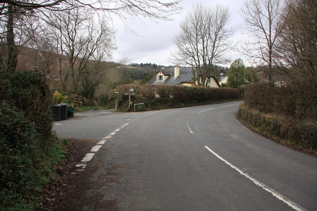
Image: © Guy Wareham Taken: 27 Mar 2010
On the road to Haytor Vale and the moor. The track going off to the left is a bridleway that leads over the River Lemon and on to the moor.
Images are licensed for reuse under creativecommons.org/licenses/by-sa/2.0
Image Location
Latitude
50.573502
Longitude
-3.735273