Croydon: South Quarter redevelopment
Introduction
The photograph on this page of Croydon: South Quarter redevelopment by Dr Neil Clifton as part of the Geograph project.
The Geograph project started in 2005 with the aim of publishing, organising and preserving representative images for every square kilometre of Great Britain, Ireland and the Isle of Man.

There are currently over 7.5m images from over 14,400 individuals and you can help contribute to the project by visiting https://www.geograph.org.uk
Croydon: South Quarter redevelopment
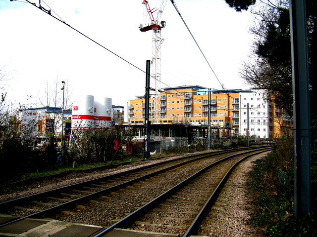
Image: © Dr Neil Clifton Taken: 27 Mar 2010
The recent financial crisis caused a brief cessation of activity on this project but work soon resumed, and the first phase of this mixed commercial and residential development is complete, with the second phase, (which in future will prevent the present view from sight) is well under way. Taken from the Wandle Park tram stop.
Images are licensed for reuse under creativecommons.org/licenses/by-sa/2.0
Image Location
Latitude
51.376126
Longitude
-0.117768