Church path, Kingswood
Introduction
The photograph on this page of Church path, Kingswood by Derek Harper as part of the Geograph project.
The Geograph project started in 2005 with the aim of publishing, organising and preserving representative images for every square kilometre of Great Britain, Ireland and the Isle of Man.

There are currently over 7.5m images from over 14,400 individuals and you can help contribute to the project by visiting https://www.geograph.org.uk
Church path, Kingswood
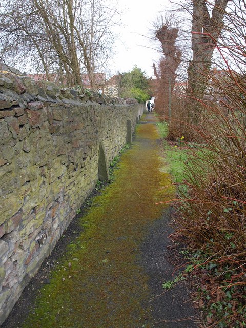
Image: © Derek Harper Taken: 26 Mar 2010
This path runs alongside the listed wall at the edge of the churchyard of Image, ending at the High Street. "The graveyard wall to west is original about 5-6 ft high pennant rubble with ironstone and oceas pennant buttresses" http://www.imagesofengland.org.uk/Details/Default.aspx?id=28729&mode=adv . I have no idea what "oceas" means.
Images are licensed for reuse under creativecommons.org/licenses/by-sa/2.0
Image Location
Latitude
51.461184
Longitude
-2.50518