B5085 at Row-of-Trees
Introduction
The photograph on this page of B5085 at Row-of-Trees by michael ely as part of the Geograph project.
The Geograph project started in 2005 with the aim of publishing, organising and preserving representative images for every square kilometre of Great Britain, Ireland and the Isle of Man.

There are currently over 7.5m images from over 14,400 individuals and you can help contribute to the project by visiting https://www.geograph.org.uk
B5085 at Row-of-Trees
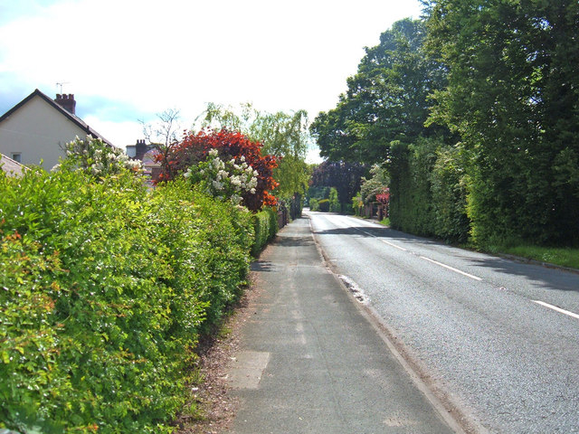
Image: © michael ely Taken: 30 May 2006
Looking SW down Knutsford Road (B5085) at a point where it has a junction with Carr Lane.
Images are licensed for reuse under creativecommons.org/licenses/by-sa/2.0
Image Location


Leaflet Map data © OpenStreetMap
Latitude
53.308551
Longitude
-2.262594