Tomley Hall Farm, from bridleway
Introduction
The photograph on this page of Tomley Hall Farm, from bridleway by Michael Westley as part of the Geograph project.
The Geograph project started in 2005 with the aim of publishing, organising and preserving representative images for every square kilometre of Great Britain, Ireland and the Isle of Man.

There are currently over 7.5m images from over 14,400 individuals and you can help contribute to the project by visiting https://www.geograph.org.uk
Tomley Hall Farm, from bridleway
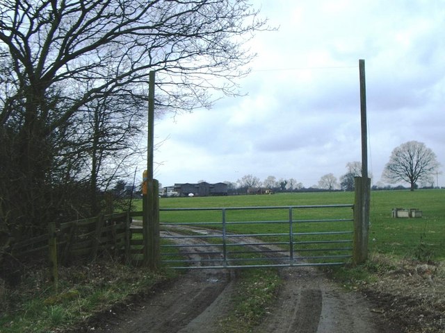
Image: © Michael Westley Taken: 24 Mar 2010
Bridleway from M6 / M1 interchange crosses track to farm, before continuing north to Shawell Road.
Images are licensed for reuse under creativecommons.org/licenses/by-sa/2.0
Image Location
Latitude
52.409444
Longitude
-1.186565