Eastern approach to Cefn Llwyd
Introduction
The photograph on this page of Eastern approach to Cefn Llwyd by Nigel Brown as part of the Geograph project.
The Geograph project started in 2005 with the aim of publishing, organising and preserving representative images for every square kilometre of Great Britain, Ireland and the Isle of Man.

There are currently over 7.5m images from over 14,400 individuals and you can help contribute to the project by visiting https://www.geograph.org.uk
Eastern approach to Cefn Llwyd
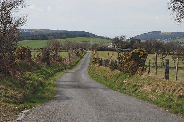
Image: © Nigel Brown Taken: 28 Mar 2010
The minor road from Banc y Darren seen here descending down the crest of the ridge towards the small community.
Images are licensed for reuse under creativecommons.org/licenses/by-sa/2.0
Image Location


Leaflet Map data © OpenStreetMap
Latitude
52.42897
Longitude
-3.97713