Hayle harbour and quayside
Introduction
The photograph on this page of Hayle harbour and quayside by John Rostron as part of the Geograph project.
The Geograph project started in 2005 with the aim of publishing, organising and preserving representative images for every square kilometre of Great Britain, Ireland and the Isle of Man.

There are currently over 7.5m images from over 14,400 individuals and you can help contribute to the project by visiting https://www.geograph.org.uk
Hayle harbour and quayside
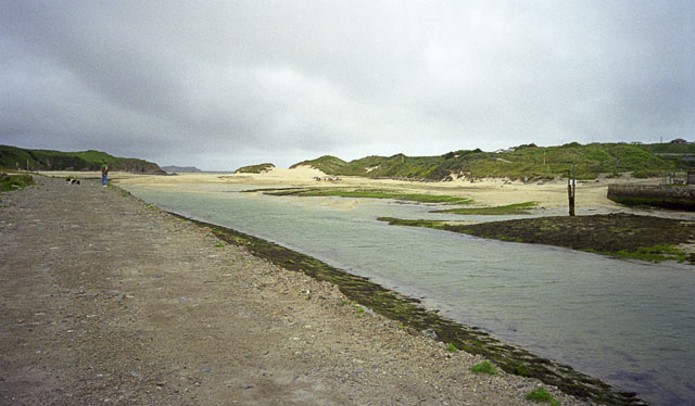
Image: © John Rostron Taken: 15 Jul 2000
The structure in the left foreground is an artificial bund extending from the industrial areas of Hayle South Quay and north along the river. The wall visible in the centre right. is part of the North Quay. In the middle distance are the extensive dune systems along this coastline.
Images are licensed for reuse under creativecommons.org/licenses/by-sa/2.0
Image Location
Latitude
50.188574
Longitude
-5.429019