Angouleme Way, Bury
Introduction
The photograph on this page of Angouleme Way, Bury by Robert Wade as part of the Geograph project.
The Geograph project started in 2005 with the aim of publishing, organising and preserving representative images for every square kilometre of Great Britain, Ireland and the Isle of Man.

There are currently over 7.5m images from over 14,400 individuals and you can help contribute to the project by visiting https://www.geograph.org.uk
Angouleme Way, Bury
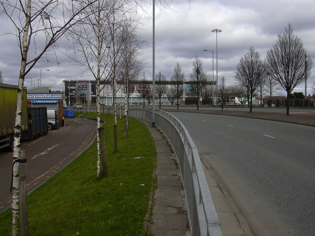
Image: © Robert Wade Taken: 27 Mar 2010
Angouleme has been twinned with Bury since 1959. The original link was made because of their common industries – felt and paper making
Images are licensed for reuse under creativecommons.org/licenses/by-sa/2.0
Image Location


Leaflet Map data © OpenStreetMap
Latitude
53.591618
Longitude
-2.293203