Dickleburgh village sign (close-up)
Introduction
The photograph on this page of Dickleburgh village sign (close-up) by Evelyn Simak as part of the Geograph project.
The Geograph project started in 2005 with the aim of publishing, organising and preserving representative images for every square kilometre of Great Britain, Ireland and the Isle of Man.

There are currently over 7.5m images from over 14,400 individuals and you can help contribute to the project by visiting https://www.geograph.org.uk
Dickleburgh village sign (close-up)
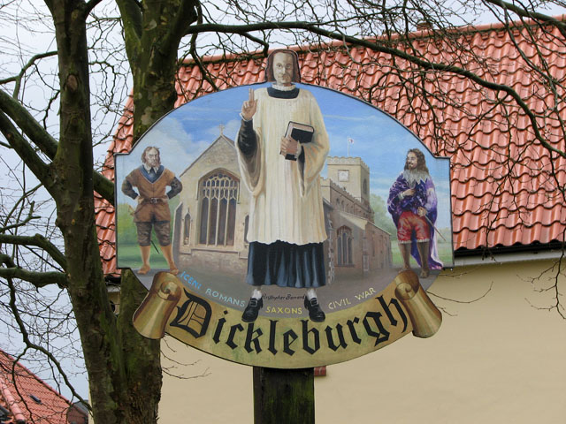
Image: © Evelyn Simak Taken: 27 Mar 2010
The village sign is situated on a small green beside The Street by the junction with Rectory Road. For a wider view of this location see > http://www.geograph.org.uk/photo/1774107.
Images are licensed for reuse under creativecommons.org/licenses/by-sa/2.0
Image Location
Latitude
52.396551
Longitude
1.18574