Lower Slaughter
Introduction
The photograph on this page of Lower Slaughter by Philip Halling as part of the Geograph project.
The Geograph project started in 2005 with the aim of publishing, organising and preserving representative images for every square kilometre of Great Britain, Ireland and the Isle of Man.

There are currently over 7.5m images from over 14,400 individuals and you can help contribute to the project by visiting https://www.geograph.org.uk
Lower Slaughter
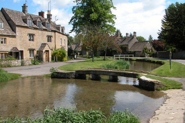
Image: © Philip Halling Taken: 29 May 2006
Picturesque Cotswold village with the River Eye flowing through its centre. The word 'slaughter' is derived from Anglo-Saxon meaning a muddy place.
Images are licensed for reuse under creativecommons.org/licenses/by-sa/2.0
Image Location
Latitude
51.901166
Longitude
-1.763629