Hulland Ward
Introduction
The photograph on this page of Hulland Ward by Mike Fowkes as part of the Geograph project.
The Geograph project started in 2005 with the aim of publishing, organising and preserving representative images for every square kilometre of Great Britain, Ireland and the Isle of Man.

There are currently over 7.5m images from over 14,400 individuals and you can help contribute to the project by visiting https://www.geograph.org.uk
Hulland Ward
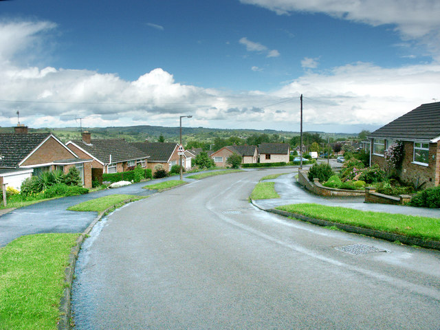
Image: © Mike Fowkes Taken: 29 May 2006
The photograph shows Firs Avenue which passes through a small housing estate in Hulland Ward.
Images are licensed for reuse under creativecommons.org/licenses/by-sa/2.0
Image Location
Latitude
53.020599
Longitude
-1.622799