The end of the bus route
Introduction
The photograph on this page of The end of the bus route by Bill Boaden as part of the Geograph project.
The Geograph project started in 2005 with the aim of publishing, organising and preserving representative images for every square kilometre of Great Britain, Ireland and the Isle of Man.

There are currently over 7.5m images from over 14,400 individuals and you can help contribute to the project by visiting https://www.geograph.org.uk
The end of the bus route
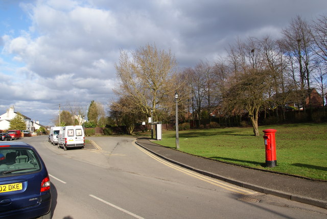
Image: © Bill Boaden Taken: 27 Mar 2010
This turning circle enables the buses to turn round and commence the return journey. They wouldn't be able to get much further along Simister Lane.
Images are licensed for reuse under creativecommons.org/licenses/by-sa/2.0
Image Location
Latitude
53.548922
Longitude
-2.254874