Bayford Station
Introduction
The photograph on this page of Bayford Station by Ben Brooksbank as part of the Geograph project.
The Geograph project started in 2005 with the aim of publishing, organising and preserving representative images for every square kilometre of Great Britain, Ireland and the Isle of Man.

There are currently over 7.5m images from over 14,400 individuals and you can help contribute to the project by visiting https://www.geograph.org.uk
Bayford Station
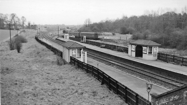
Image: © Ben Brooksbank Taken: 5 Feb 1961
View northward, towards Hertford North; Wood Green (Alexandra Palace) - Hertford North - Stevenage Loop line.
Images are licensed for reuse under creativecommons.org/licenses/by-sa/2.0
Image Location
Latitude
51.758127
Longitude
-0.095549