Livaton Farm
Introduction
The photograph on this page of Livaton Farm by Richard Dorrell as part of the Geograph project.
The Geograph project started in 2005 with the aim of publishing, organising and preserving representative images for every square kilometre of Great Britain, Ireland and the Isle of Man.

There are currently over 7.5m images from over 14,400 individuals and you can help contribute to the project by visiting https://www.geograph.org.uk
Livaton Farm
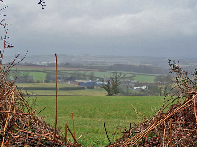
Image: © Richard Dorrell Taken: 23 Mar 2010
Seen over the hedge from Beaconpark Lane, on a damp and misty early spring day.
Images are licensed for reuse under creativecommons.org/licenses/by-sa/2.0
Image Location
Latitude
50.725526
Longitude
-3.872654