A Bunk Road, Loudwater
Introduction
The photograph on this page of A Bunk Road, Loudwater by Ivan Hall as part of the Geograph project.
The Geograph project started in 2005 with the aim of publishing, organising and preserving representative images for every square kilometre of Great Britain, Ireland and the Isle of Man.

There are currently over 7.5m images from over 14,400 individuals and you can help contribute to the project by visiting https://www.geograph.org.uk
A Bunk Road, Loudwater
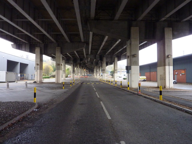
Image: © Ivan Hall Taken: 21 Nov 2009
A good spot here. More dramatic than you'd think. The top bunk is the M40. The bottom bunk goes to Homebase.
Images are licensed for reuse under creativecommons.org/licenses/by-sa/2.0
Image Location
Latitude
51.603487
Longitude
-0.696384