Caddell Farm
Introduction
The photograph on this page of Caddell Farm by Ian Rainey as part of the Geograph project.
The Geograph project started in 2005 with the aim of publishing, organising and preserving representative images for every square kilometre of Great Britain, Ireland and the Isle of Man.

There are currently over 7.5m images from over 14,400 individuals and you can help contribute to the project by visiting https://www.geograph.org.uk
Caddell Farm
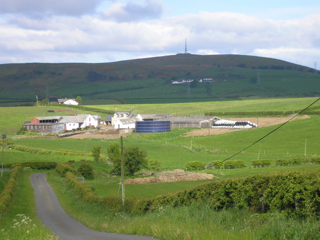
Image: © Ian Rainey Taken: 30 May 2006
Caddell Farm with Meikle Ittington farm behind it to the right and Knockwart Farm on the hill in the distance with the Communications Tower on Knockewart Hills above it.
Images are licensed for reuse under creativecommons.org/licenses/by-sa/2.0
Image Location
Latitude
55.687018
Longitude
-4.76786