Bratton Walk, Woodcombe, Minehead
Introduction
The photograph on this page of Bratton Walk, Woodcombe, Minehead by Rob Farrow as part of the Geograph project.
The Geograph project started in 2005 with the aim of publishing, organising and preserving representative images for every square kilometre of Great Britain, Ireland and the Isle of Man.

There are currently over 7.5m images from over 14,400 individuals and you can help contribute to the project by visiting https://www.geograph.org.uk
Bratton Walk, Woodcombe, Minehead
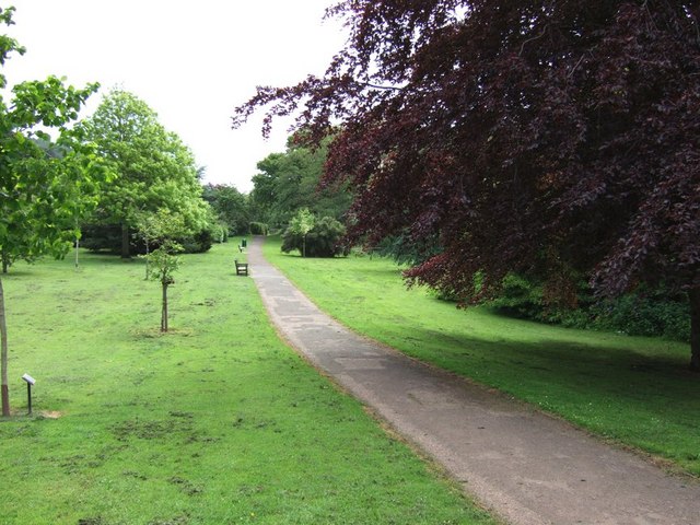
Image: © Rob Farrow Taken: 28 May 2006
On the eastern side of Minehead is an area called The Parks. A pleasantly landscaped area with a stream running through it. This stream crosses the road and continues through parkland in an area called Woodcombe, probably originally a separate village - this photograph was taken here looking back towards Minehead. The pathway continues to the hamlet of Bratton, through more natural landscape as the parkland stops at this point.
Images are licensed for reuse under creativecommons.org/licenses/by-sa/2.0
Image Location
Latitude
51.2063
Longitude
-3.498698