Green Barley
Introduction
The photograph on this page of Green Barley by Michael Patterson as part of the Geograph project.
The Geograph project started in 2005 with the aim of publishing, organising and preserving representative images for every square kilometre of Great Britain, Ireland and the Isle of Man.

There are currently over 7.5m images from over 14,400 individuals and you can help contribute to the project by visiting https://www.geograph.org.uk
Green Barley
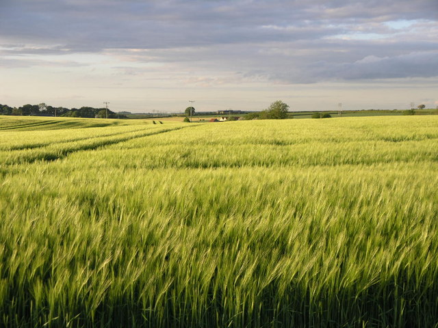
Image: © Michael Patterson Taken: 29 May 2006
An old Roman road runs along the edge of this field, the house in the distance is on the road. The boundary of this and the next square east runs exactly along the line of the road.
Images are licensed for reuse under creativecommons.org/licenses/by-sa/2.0
Image Location
Latitude
53.237387
Longitude
-1.268799