The Ystwyth Trail near Trawscoed
Introduction
The photograph on this page of The Ystwyth Trail near Trawscoed by Nigel Brown as part of the Geograph project.
The Geograph project started in 2005 with the aim of publishing, organising and preserving representative images for every square kilometre of Great Britain, Ireland and the Isle of Man.

There are currently over 7.5m images from over 14,400 individuals and you can help contribute to the project by visiting https://www.geograph.org.uk
The Ystwyth Trail near Trawscoed
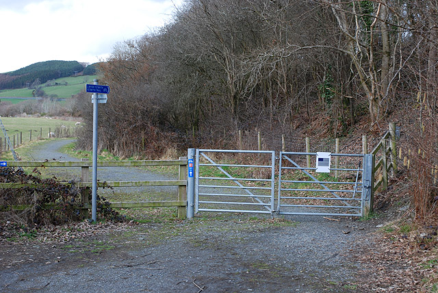
Image: © Nigel Brown Taken: 26 Mar 2010
For much of its length, this trail between Aberystwyth and Tregaron uses the trackbed of the old railway line connecting the two towns. At this point the railway bridge over the B4575 no longer exists, so the trail descends to the road and regains the trackbed on the other side.
Images are licensed for reuse under creativecommons.org/licenses/by-sa/2.0
Image Location
Latitude
52.343217
Longitude
-3.964786