Footpath from Bunny
Introduction
The photograph on this page of Footpath from Bunny by Alan Murray-Rust as part of the Geograph project.
The Geograph project started in 2005 with the aim of publishing, organising and preserving representative images for every square kilometre of Great Britain, Ireland and the Isle of Man.

There are currently over 7.5m images from over 14,400 individuals and you can help contribute to the project by visiting https://www.geograph.org.uk
Footpath from Bunny
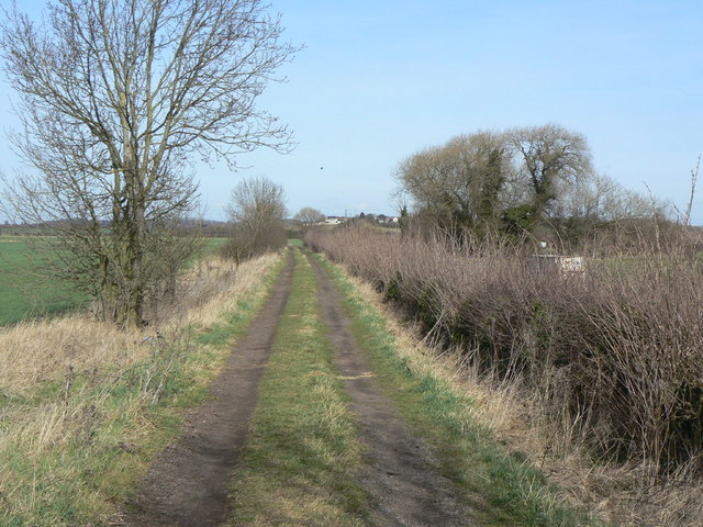
Image: © Alan Murray-Rust Taken: 23 Mar 2010
Looking north towards Bradmore. Also the main farm access onto the northern section of Bunny Moor. The track is very close to the gridline at this point, and there is in fact a grid cross in the middle of the track just about level with the stand of trees to the right.
Images are licensed for reuse under creativecommons.org/licenses/by-sa/2.0
Image Location
Latitude
52.864008
Longitude
-1.140065