Farm track and footpath
Introduction
The photograph on this page of Farm track and footpath by Alan Murray-Rust as part of the Geograph project.
The Geograph project started in 2005 with the aim of publishing, organising and preserving representative images for every square kilometre of Great Britain, Ireland and the Isle of Man.

There are currently over 7.5m images from over 14,400 individuals and you can help contribute to the project by visiting https://www.geograph.org.uk
Farm track and footpath
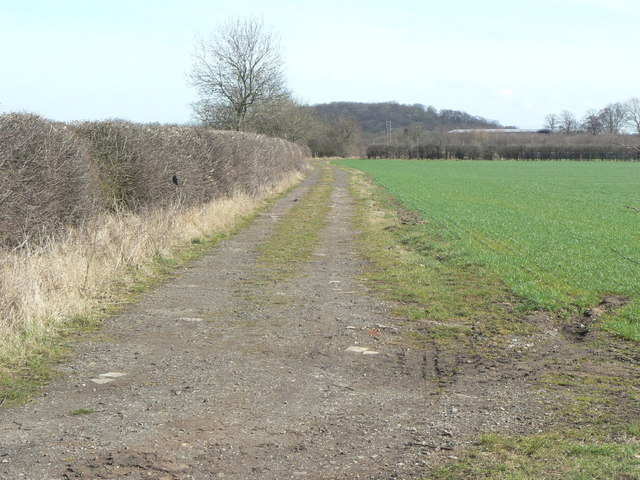
Image: © Alan Murray-Rust Taken: 23 Mar 2010
The extension south from the bend in Moor Lane http://www.geograph.org.uk/photo/1771517, showing how it has taken over the farm access into the area - Moor Lane retains bridleway status..
Images are licensed for reuse under creativecommons.org/licenses/by-sa/2.0
Image Location
Latitude
52.868672
Longitude
-1.138488