Swinnel Brook and Lancashire and Yorkshire Railway Marker Stone
Introduction
The photograph on this page of Swinnel Brook and Lancashire and Yorkshire Railway Marker Stone by Robert Wade as part of the Geograph project.
The Geograph project started in 2005 with the aim of publishing, organising and preserving representative images for every square kilometre of Great Britain, Ireland and the Isle of Man.

There are currently over 7.5m images from over 14,400 individuals and you can help contribute to the project by visiting https://www.geograph.org.uk
Swinnel Brook and Lancashire and Yorkshire Railway Marker Stone
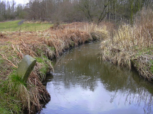
Image: © Robert Wade Taken: 25 Mar 2010
I fear that one day the boundary stone will fall into the brook
Images are licensed for reuse under creativecommons.org/licenses/by-sa/2.0
Image Location
Latitude
53.69379
Longitude
-2.33662