Disused railway now used as a walkway
Introduction
The photograph on this page of Disused railway now used as a walkway by Philip Barker as part of the Geograph project.
The Geograph project started in 2005 with the aim of publishing, organising and preserving representative images for every square kilometre of Great Britain, Ireland and the Isle of Man.

There are currently over 7.5m images from over 14,400 individuals and you can help contribute to the project by visiting https://www.geograph.org.uk
Disused railway now used as a walkway
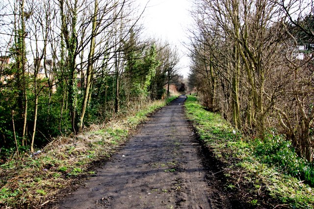
Image: © Philip Barker Taken: 25 Mar 2010
This photograph shows a view of a section of the (now disused) railway line which used to run between Scarborough (in the south) and Staithes (in the north). It is now used as a walkway that leads to the viaduct over the River Esk (see here: Image ). The picture was taken looking in a south-south-easterly direction towards the A171 road.
Images are licensed for reuse under creativecommons.org/licenses/by-sa/2.0
Image Location
Latitude
54.482174
Longitude
-0.622586