The Nottingham Canal
Introduction
The photograph on this page of The Nottingham Canal by Lynne Kirton as part of the Geograph project.
The Geograph project started in 2005 with the aim of publishing, organising and preserving representative images for every square kilometre of Great Britain, Ireland and the Isle of Man.

There are currently over 7.5m images from over 14,400 individuals and you can help contribute to the project by visiting https://www.geograph.org.uk
The Nottingham Canal
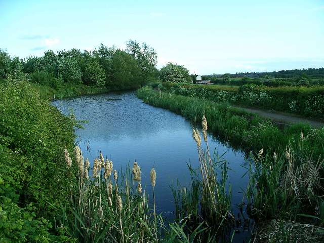
Image: © Lynne Kirton Taken: 29 May 2006
An information board near the car park at SK476433 records the following information about the canal: The Nottingham Canal was opened in 1796 and cost £80,000. It is 14¾ miles long, running from the River Trent at Nottingham to its junction with the Erewash and Cromford Canals at Langley Mill. The Engineer was William Jessop, who was one of the greatest of the canal builders, much in demand for his skills during the last decade of the 18th century, when canal construction was at its peak. The canal was abandoned in 1937, having carried no traffic for the previous decade, but continued to receive nominal maintenance until 1971. In 1976 the Nottingham Canal Society was formed with the aim of restoring the canal for navigation between Langley Mill and Trowell. Broxtowe Borough Council originally supported this objective, but since then open cast mining has made this unrealistic, and the lengths in Council ownership are managed for nature and as a public amenity.
Images are licensed for reuse under creativecommons.org/licenses/by-sa/2.0
Image Location
Latitude
52.984933
Longitude
-1.292432