St. Peter's church, Pedmore
Introduction
The photograph on this page of St. Peter's church, Pedmore by Jonathan Billinger as part of the Geograph project.
The Geograph project started in 2005 with the aim of publishing, organising and preserving representative images for every square kilometre of Great Britain, Ireland and the Isle of Man.

There are currently over 7.5m images from over 14,400 individuals and you can help contribute to the project by visiting https://www.geograph.org.uk
St. Peter's church, Pedmore
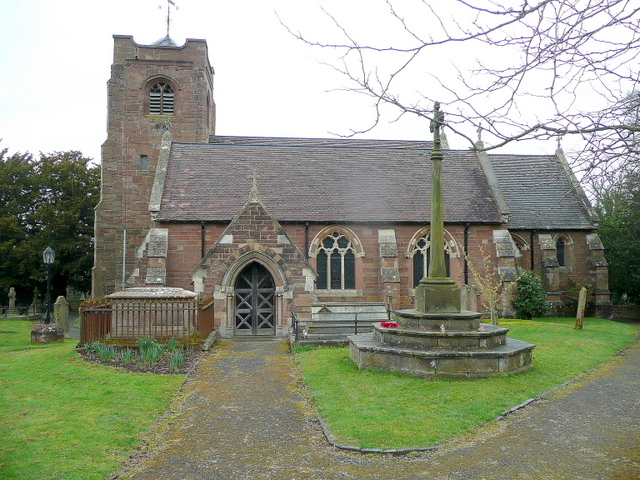
Image: © Jonathan Billinger Taken: 22 Mar 2010
The parish church of a village that has now become a suburb of Stourbridge on the edge of the Greater Birmingham conurbation. View from the south.
Images are licensed for reuse under creativecommons.org/licenses/by-sa/2.0
Image Location
Latitude
52.43689
Longitude
-2.131167