A352, approaching Wool level crossing
Introduction
The photograph on this page of A352, approaching Wool level crossing by Jonathan Billinger as part of the Geograph project.
The Geograph project started in 2005 with the aim of publishing, organising and preserving representative images for every square kilometre of Great Britain, Ireland and the Isle of Man.

There are currently over 7.5m images from over 14,400 individuals and you can help contribute to the project by visiting https://www.geograph.org.uk
A352, approaching Wool level crossing
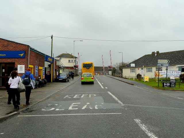
Image: © Jonathan Billinger Taken: 25 Mar 2010
With the barriers just about to descend; the school bus ahead having disgorged some of its young passengers on this Thursday afternoon.
Images are licensed for reuse under creativecommons.org/licenses/by-sa/2.0
Image Location
Latitude
50.681544
Longitude
-2.22245