The Avon Burn
Introduction
The photograph on this page of The Avon Burn by Lairich Rig as part of the Geograph project.
The Geograph project started in 2005 with the aim of publishing, organising and preserving representative images for every square kilometre of Great Britain, Ireland and the Isle of Man.

There are currently over 7.5m images from over 14,400 individuals and you can help contribute to the project by visiting https://www.geograph.org.uk
The Avon Burn
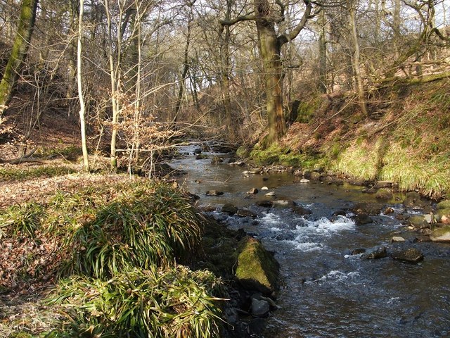
Image: © Lairich Rig Taken: 15 Mar 2010
The photograph was taken just 30 metres from the road and wall that are shown in Image The Avon Burn flows into the River Carron about 1.5 km SSE of here.
Images are licensed for reuse under creativecommons.org/licenses/by-sa/2.0
Image Location
Latitude
56.038595
Longitude
-3.920104