Myrtlefield Park, Belfast
Introduction
The photograph on this page of Myrtlefield Park, Belfast by Rossographer as part of the Geograph project.
The Geograph project started in 2005 with the aim of publishing, organising and preserving representative images for every square kilometre of Great Britain, Ireland and the Isle of Man.

There are currently over 7.5m images from over 14,400 individuals and you can help contribute to the project by visiting https://www.geograph.org.uk
Myrtlefield Park, Belfast
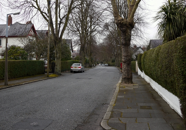
Image: © Rossographer Taken: 23 Mar 2010
Another fine avenue that runs between the Lisburn and Malone roads in south Belfast.
Images are licensed for reuse under creativecommons.org/licenses/by-sa/2.0
Image Location
Latitude
54.568587
Longitude
-5.957509