West Mendip Way entering Wells
Introduction
The photograph on this page of West Mendip Way entering Wells by Derek Harper as part of the Geograph project.
The Geograph project started in 2005 with the aim of publishing, organising and preserving representative images for every square kilometre of Great Britain, Ireland and the Isle of Man.

There are currently over 7.5m images from over 14,400 individuals and you can help contribute to the project by visiting https://www.geograph.org.uk
West Mendip Way entering Wells
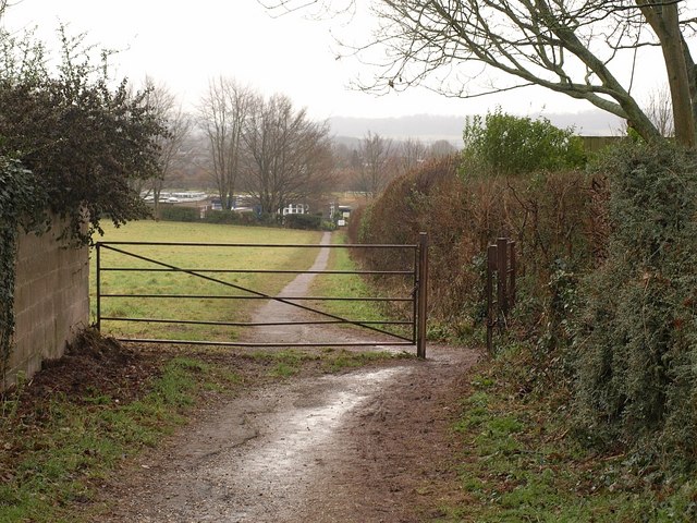
Image: © Derek Harper Taken: 22 Feb 2010
The Way follows footpath WS 17/3 down the edge of this field and past the Blue School.
Images are licensed for reuse under creativecommons.org/licenses/by-sa/2.0
Image Location
Latitude
51.213984
Longitude
-2.653655