Brokenford Lane footbridge
Introduction
The photograph on this page of Brokenford Lane footbridge by Derek Harper as part of the Geograph project.
The Geograph project started in 2005 with the aim of publishing, organising and preserving representative images for every square kilometre of Great Britain, Ireland and the Isle of Man.

There are currently over 7.5m images from over 14,400 individuals and you can help contribute to the project by visiting https://www.geograph.org.uk
Brokenford Lane footbridge
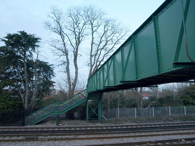
Image: © Derek Harper Taken: 17 Feb 2010
A view of Image, crossed by Totton and Eling Footpath 32 and the Test Way over the Bournemouth - Southampton line just west of Totton.
Images are licensed for reuse under creativecommons.org/licenses/by-sa/2.0
Image Location
Latitude
50.917244
Longitude
-1.491244