Llwyn Onn, Ponthir
Introduction
The photograph on this page of Llwyn Onn, Ponthir by Jaggery as part of the Geograph project.
The Geograph project started in 2005 with the aim of publishing, organising and preserving representative images for every square kilometre of Great Britain, Ireland and the Isle of Man.

There are currently over 7.5m images from over 14,400 individuals and you can help contribute to the project by visiting https://www.geograph.org.uk
Llwyn Onn, Ponthir
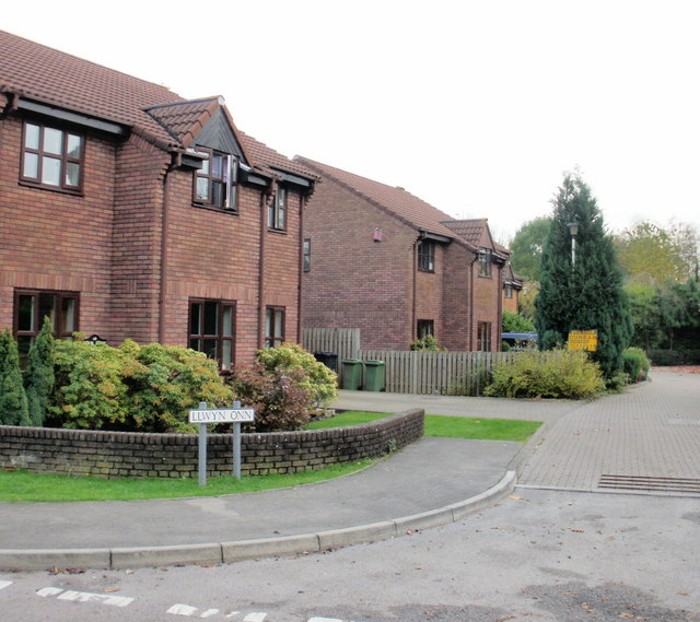
Image: © Jaggery Taken: 29 Oct 2009
Two of the six houses in Llwyn Onn (ash grove), a cul-de-sac connecting with Candwr Road. A 1996 map, before the houses were built, shows that Llwyn Onn was named Riverside at that time.
Images are licensed for reuse under creativecommons.org/licenses/by-sa/2.0
Image Location
Latitude
51.627309
Longitude
-2.969319